Skip to content

Powerful Data Insights

Providing the data and insights to give you peace of mind that your operations are running safely and smoothly.

Actionable Data

  • UAS Operator Location

    Send ground response using the search and response area (red circle). ID the specific Operator/Take-Off GPS (yellow marker).

  • UAS 3D Location

    Real-time craft location (green UAS icon) and previous flight path (track tail) help determine threat level and intent.

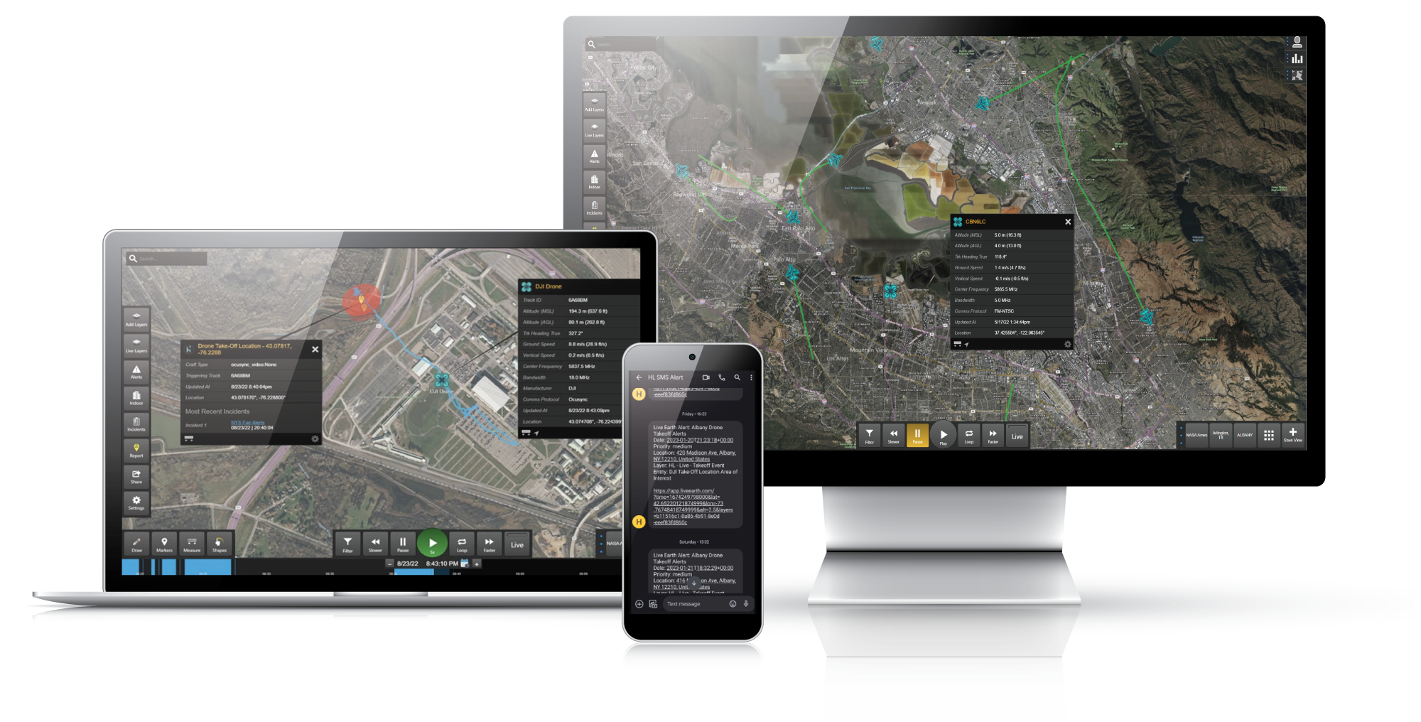
Real-time data feeds and mobile alerts

Plug & Play Methodology

  • 01
    3D data feed – RESTful API provides UAS flight path and other information to subscribers
  • 02
    Real-time location data provided in GeoJSON compatible format
  • 03
    Communication secured by TLS 1.2, Authentication via API key
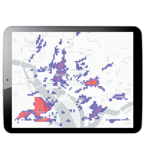
Data Analytics

AMS insights provides a historical analysis of the data as well as comprehensive data collection which can be customized and layered into insights for your team. Using our data can help you make informed decisions, like how to best plan and optimize your response resources.

  • Heat Maps

    Identify where the majority of flight activity is occurring in your area.
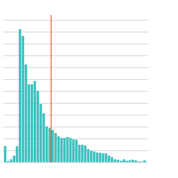
  • Flights by Altitude

    Identify flights observing standard <400ft and those that are not.
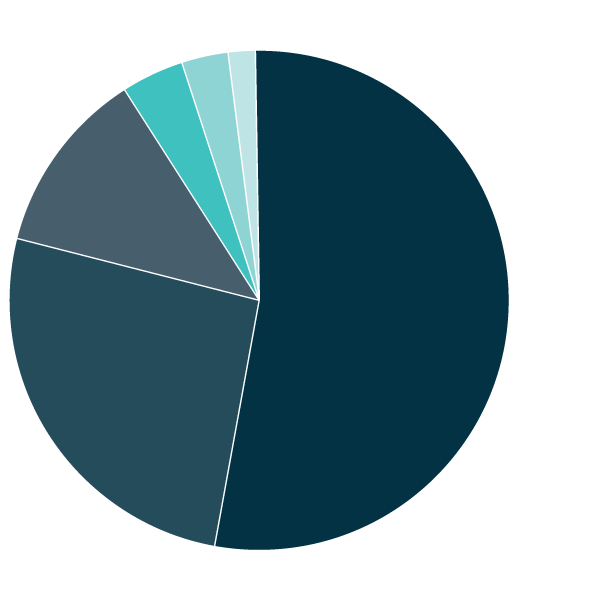
  • Protocols

    Identify which models are most prominent in your area.
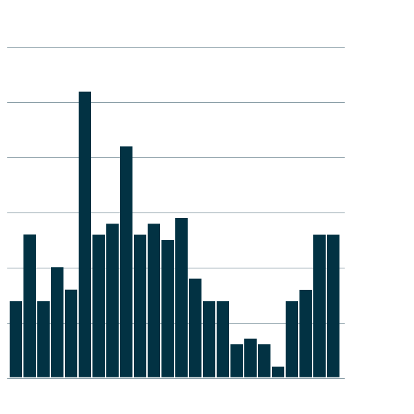
  • Time of Day

    Identify when incidents are occurring.