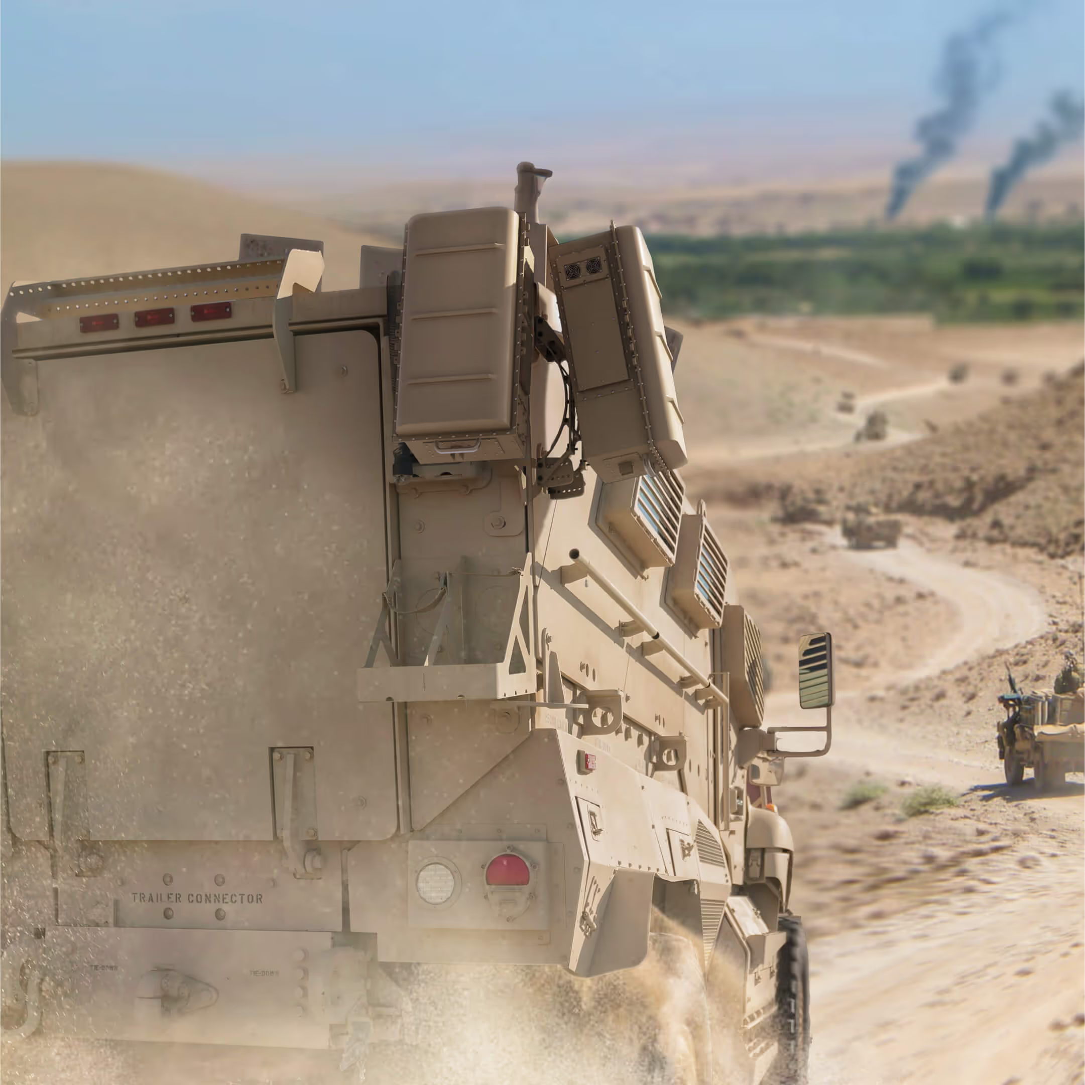
An army convoy in the desertAn army convoy in the desert
Solution for Defense

Eliminate blindspots on the battlefield.

Traditional, more expensive radar frequency technologies have performance limitations, are often single use, and become quickly obsolete in defending against evolving EW and UAS threats. Hidden Level’s advanced detection and surveillance system integrates with existing platforms, offers customizability, and maintains high accuracy to support operation at a distance.

TRL9 tested & MIL-STD-810. uS FCC compliant. Encrypted, restricted, secure. Interoperable, open architecture. Trusted by us dept of defense. This is how you ensure mission success.

The right sensor to meet any mission.

Secure bases and critical infrastructure.

Get wide data coverage for early detection of any illicit UAS activity to secure ports, bases, large airfields, energy & water sources, and more.

Hardware from Hidden Level

Mount to vehicles.

With a ruggedized chassis and precision mounting, Hidden Level sensors can easily mount on vehicles without sacrificing data integrity or coverage.
An army Humvee
Hardware from Hidden Level

Imbed in the field.

Provide targeted security for mobile units with sensors that are lightweight, extremely power efficient, and easy to install.
Army people staring at a computer
Hardware from Hidden Level

Designed to make your decisions clear.

Use our data

Powered by Hidden Level’s global sensor network.
Gather your own data

Find the right sensor to meet your mission.

Designed to make your decisions clear.

Deploy.

Bring on any mission.
Optimized for size, weight and power, Hidden Level sensors easily mount to many vehicle types with minimal power consumption and extreme durability to bring you sustained, vital intel for any mission.

Integrate.

Unify your response.
Communicate and collaborate seamlessly with an open-API architecture that lets you integrate with any command and control system across military departments and agencies.

Detect.

Spot threats. Stay undetected.
Receive early stage detection and identification of all crewed and uncrewed aerial systems with 3-in-1 passive radar, RF detection & spectrum sensing, and electronic warfare technology.

Analyze.

Strengthen your defense.
Predict threats. Leverage historical data for predictive security that keeps you ahead of threats.
adversary drones are all going dark, and to my knowledge Hidden level are the only ones with a passive solution that can solve the problem.
NextFed Advisor
,

Tech that’s tested and trusted.

02

APFIT funding.

U.S. DoD, 2023
Hidden Level was awarded $10M in APFIT funding by the US Department of Defense (DoD) to provide Tactical Passive Radar for Counter Unmanned Air Systems (UAS) for the US Army.
01

Program of record.

U.S. Army, 2024
Provided layered passive C-UAS capability that combines sensor modalities to detect and defeat UAS. Transitioned to program of record in 2024 with a 10 year resource commitment.
02

APFIT funding.

U.S. DoD, 2023
Hidden Level was awarded $10M in APFIT funding by the US Department of Defense (DoD) to provide Tactical Passive Radar for Counter Unmanned Air Systems (UAS) for the US Army.

Questions from customers like you.

What is the detection range?

The range can vary depending on various environmental factors. However, average detection ranges are 5km in an urban setting and up to 25km in rural settings.

Where is your technology made?

Our technology is designed, developed, and manufactured in the US.

How many threats can Hidden Level detect simultaneously?

There is no known limit to the number of simultaneous UAS detections using a sensor network of at least 2 sensors. A single sensor can track approximately 12 targets without affecting processing speed or having to add processing resources.

What is the range of environmental conditions within which the system can operate?

Our hardware has undergone environmental testing by certified third-party labs to qualify the system's operational thresholds. The results support operation in the following conditions (these vary slightly by system):

Breaker:
Temperature: -40 to +60°C
Wind: 100+ mph
Humidity: Aggravated Humidity and Salt Fog (higher than found in nature)
Wind Blown Rain
EMI / EMC Compliant

Surge differences:
-32 to +49C
Wind: 80+ mph

***Note Surge AMS variant will have ranges similar to Breaker above

Are other components required to deploy the service?

*Depending on the use case, RNC may be optional*
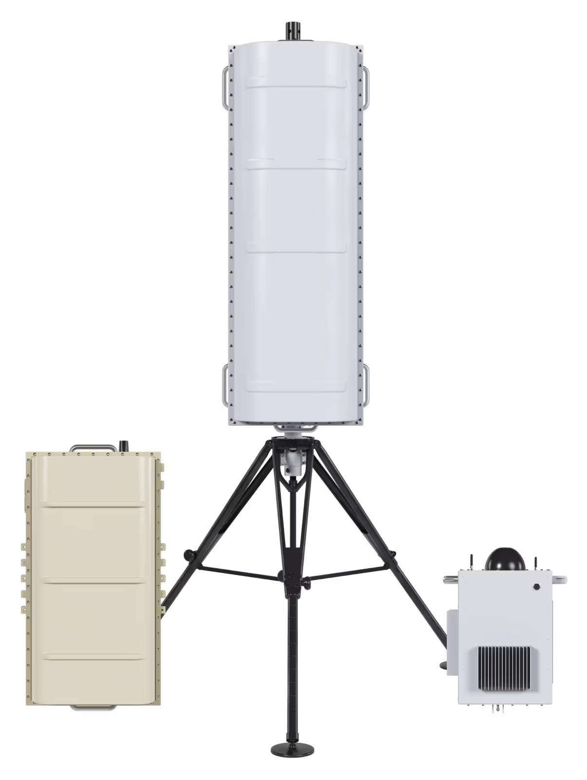
Our sensors are deployed with a companion Remote Node Control (RNC) box that is a configurable deployment solution to meet the needs of individual site requirements. It provides networking capability and security, power to the sensors, and other features such as health monitoring and remote power-cycle capability. The RNC box can also be configured with 4G LTE internet connectivity if hardline internet access is unavailable. The RNC box connects to a power source via a standard 120VAC outlet using a custom cable and connects to hardline internet via a standard RJ45 ethernet cable. The RNC then connects to the sensors via a custom power and network cable.

What are the hardware security controls?

Access to sensors is protected using encrypted tunnels and FIPS 186.5 compliant Digital Signature Key public/private cryptographic key exchange. Additional protection provided by site-local firewalls and network intrusion defenses that enforce strict IP-based access rules.

What is the location accuracy?

A single-sensor's accuracy can best be described as 2-degrees (RSS 1-sigma). In a typical urban scenario, average location accuracy of 50m 50% SEP (Spherical Error Probable) assuming a 5km tracking range is expected.