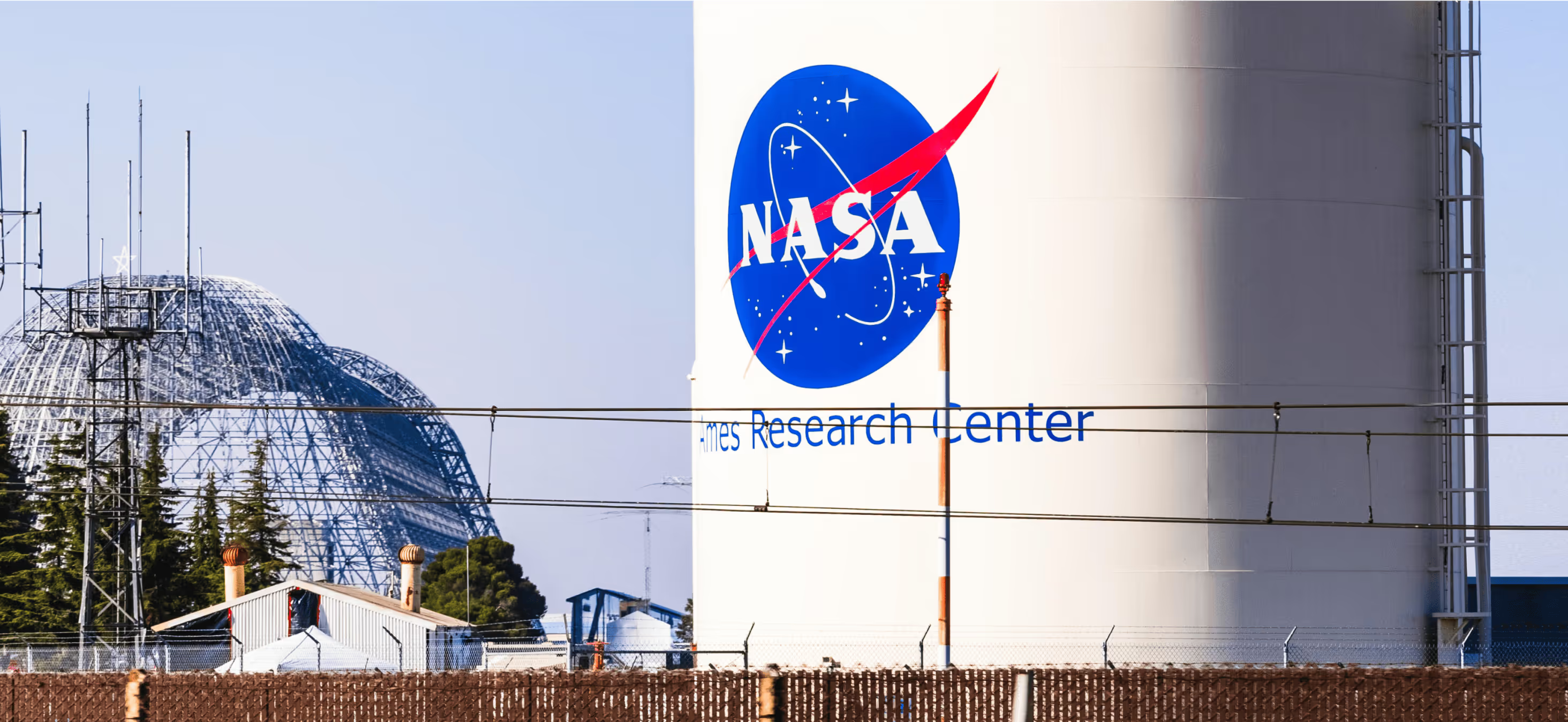
Enhancing Smart Mobility at NASA Ames with Comprehensive Airspace Awareness.

MISSION OBJECTIVE
As the landscape of aerial mobility evolves, the integration of unmanned aerial systems (UAS) and manned aircraft into the national airspace poses significant challenges. NASA Ames Research Center, a leader in aeronautics innovation, sought a solution to track both cooperative and non-cooperative UAS and manned aircraft. The system needed to seamlessly integrate with NASA’s existing architecture to support the development of UAS Traffic Management (UTM) and Advanced Air Mobility (AAM) ecosystems, ensuring safety and operational efficiency.
The Problem
With the rapid proliferation of UAS and the potential for congestion in low-altitude airspace, NASA required a comprehensive surveillance solution. The challenge was to:
- Detect and track both cooperative UAS (which broadcast their position using Remote-ID) and non-cooperative UAS (which do not).
- Detect and track both cooperative manned aircraft (which broadcast their position using ADS-B) and non-cooperative manned aircraft (which do not).
- Integrate the data into NASA’s UTM platform for enhanced situational awareness.
- Develop a system capable of providing airspace awareness to help shape future UTM and AAM architectures and operational concepts.
WHAT WE DID
To meet these challenges, we partnered with NASA Ames and deployed Hidden Level sensors at the research center. These sensors provided advanced detection capabilities, offering a real-time, 3D view of the airspace. By integrating data from multiple sensor sources, including cooperative UAS data and active radar systems, we created a comprehensive 3D airspace picture.
Key steps
- Deployed Hidden Level Sensors: Installed cooperative and non-cooperative UAS detection sensors at NASA Ames, ensuring real-time data capture across a wide airspace.
- Multi-Sensor Integration: Collected and fused data from various sensors, including active radar and ADS-B receivers, to detect and track UAS and manned aircraft in a unified framework.
- 3D Airspace Visualization: Created a 3D common operating picture (COP) of the airspace by integrating all sensor data into NASA’s UTM platform. This provided NASA with comprehensive visibility into both manned and unmanned flight operations.
- API Integration: Integrated AMS API data and multiple sensor feeds into NASA’s XTMClient and Federal USS architecture, ensuring seamless data flow and enhancing situational awareness for air traffic management.
VALUE DELIVERED
1. Enhanced Airspace Awareness: The system provided real-time detection and tracking of cooperative and non-cooperative UAS and manned aircraft, delivering a clear and comprehensive airspace picture for NASA’s UTM and AAM research.
2. Support for UTM and AAM Concepts of Operations: By integrating advanced surveillance technologies, Hidden Level assisted in the development of operational concepts and architectures that support safe and efficient airspace management, directly influencing ongoing UTM and AAM ecosystem development.
3. Scalable Airspace Surveillance: The successful integration of Hidden Level sensors and active radar with NASA’s platform demonstrated that a scalable, real-time surveillance solution can be deployed in complex airspaces, meeting the needs of both UTM and AAM systems.
Conclusion
By deploying Hidden Level sensors and integrating them into NASA Ames’ existing UTM architecture, we provided a comprehensive solution that enhances airspace awareness for both cooperative and non-cooperative UAS and manned aircraft. This project contributed significantly to the development of UTM and AAM systems, supporting NASA’s vision for the future of smart mobility in aerial operations.


%20(1).avif)
%20(1).avif)
